
City Council Redistricting 2011 Archive
California Elections Code 21600 requires that following each decennial federal census, the City Council adjust their district boundaries. Districts shall be as nearly equal in population as may be and shall comply with the applicable provisions of Section 1973 of Title 42 of the United States Code, as amended.
At the August 23, 2011 City Council Meeting, the Council adopted the following criteria to guide the process of establishing the boundaries of districts.
- Click here to view the 2011 Baseline district map and population
Update
- City of Moreno Valley Redraws Councilmanic Boundaries
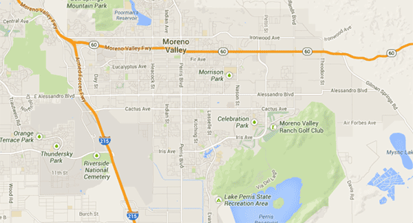
The City of Moreno Valley completed the process of adjusting Councilmanic district boundaries at the Regular City Council Meeting on October 25, 2011, at which the Council considered three proposed maps: Consultant's Draft Plan Map 3, Public Plan No. 9 and Public Plan No. 10. Ultimately, an amended version of Public Plan No. 9 was adopted.
- 2011 Adopted Plan Maps
- 2011 Redistricting Criteria
- 2011 Draft Maps
2011 Adopted Plan Maps
Adopted District Maps
2011 Redistricting Criteria
Issues of Equality and Fairness
- Equal Population: Each district shall contain a nearly equal number of inhabitants
- Adherence to the Voting Rights Act: District borders shall be drawn in a
manner that complies with Section 2 and Section 5 of the Federal Voting
Rights Act
Councilmanic Districts
- Councilmanic Districts: District borders shall be drawn to avoid locating
more than one current Council member in any one district as much as
possible
Good Government Criteria
- Each district shall consist of contiguous territory in as compact form as possible
- Each district shall respect communities of interest as much as possible
- District borders shall follow visible natural and man-made geographical and topographical features as much as possible
- Each new district shall preserve the corresponding existing district’s population and territory as much as possible
- Districts known to be areas of higher-than-average population growth in the two to five years following redistricting may be under populated within the population deviation amounts allowed by law.
Download a printable pdf of the criteria:
2011 Draft maps
Draft Maps resulting from the redistricting process will be posted on the website when they become available.
- View the Draft Maps 1 - 4 (3.5 M PDF)
Citizen Submitted Draft Maps